Alpine Loop and Provo Canyon Scenic Drives
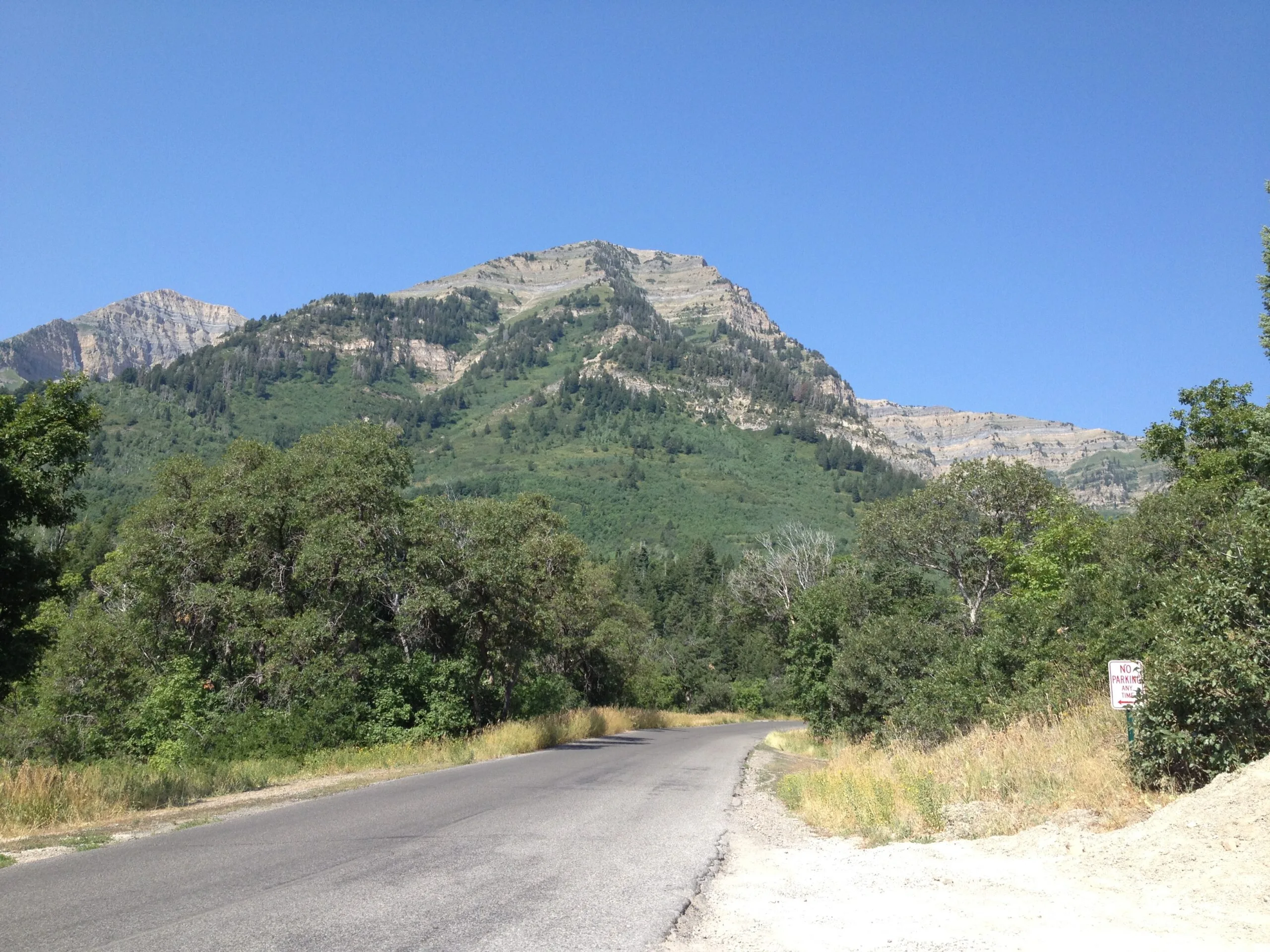
Alpine Loop Scenic Backway (SR-92)
The Alpine Loop scenic drive is a popular 20-mile paved route in the Uinta-Wasatch-Cache National Forest that connects American Fork Canyon with Provo Canyon. At the top of the loop, Mount Timpanogos is visible through aspen groves.
Campgrounds and picnic areas are located along the drive, and hiking trails off the road lead into the Mount Timpanogos and Lone Peak wilderness areas. This is a popular drive during the fall, with peak foliage occurring from late September through mid-October.
Along the way, you’ll pass Sundance Mountain Resort, Cascade Springs, and Timpanogos Cave National Monument.
👉 If you’re just doing the scenic drive or stopping at Timpanogos Cave or Sundance, you are not required to pay the entrance fee. If you stop at other recreation sites along the loop, you must pay the fee or get a pass.
- Distance: 20 miles
- Estimated Time: 30 minutes, longer with traffic during peak leaf peeping season
- Route: SR-92 to US-189
- Starting Elevation: (American Fork Canyon Mouth) ~5,000 ft | Highest Elevation: (Alpine Loop Summit) ~8,000 ft
- Elevation Gain: ~3,000 ft
- Road Conditions: Mostly smooth highway, but the road is narrow with sharp curves and steep grades
- Services: Sundance Mountain Resort, Cascade Springs, the Stewart Falls, and Mount Timpanogos, Timpanogos Cave National Monument.
American Fork Canyon to Tibble Fork Reservoir Scenic Drive (SR-144)
This short drive starts from the Alpine Loop scenic backway (SR-92) in American Fork Canyon and travels approximately 2.5 miles to Tibble Fork Reservoir. This is a relatively short drive but offers great views of the Uinta-Wasatch-Cache National Forest.
Tibble Fork is a year-round destination for outdoor recreation, with opportunities for hiking, fishing, and non-motorized boating activities.
- Distance: 2.5 miles
- Estimated Time: 5 minutes
- Route: SR-144 (starting from SR-92)
- Road Conditions: Mostly smooth highway
- Services: Limited amenities at Tibble Fork Reservoir (parking, restrooms, picnic areas)
Provo Canyon Scenic Byway (US-189)
This state scenic byway connects the Utah and Heber valleys through Provo Canyon along US-189. Travel from the mouth of Provo Canyon past Bridal Veil Falls and Deer Creek Reservoir as you make your way to Heber Valley. The road parallels the Provo River, one of the world’s premier fly fishing streams.
A few miles up Provo Canyon, you’ll find the start of Kyhv Peak Road, which offers views of Utah Valley. After 4.5 miles, the road turns to dirt and 4-wheel drive is recommended.
Farther up Provo Canyon, Bridal Veil Falls, a double-cataract waterfall, can be seen from the road. Its name is derived from the pattern the water creates as it flows over rock boulders.
At the top of Provo Canyon, Deer Creek State Park’s reservoir offers boating, fishing, windsurfing, and more. The byway ends in the Heber Valley near the town of Midway and Soldier Hollow, which features a network of cross-country trails built for the 2002 Olympic Winter Games' biathlon competitions.
- Distance: 26 miles
- Estimated Time: 35 minutes
- Route: US-189 from Provo to Heber
- Starting Elevation: (Provo Canyon Mouth) ~4,800 ft | Ending Elevation: (Heber Valley) ~5,800 ft
- Elevation Gain: ~1,000 ft
- Road Conditions: Mostly smooth highway
- Services: Provides access to Sundance Mountain Resort via SR-92, Bridal Veil Falls, the Uinta-Wasatch-Cache National Forest, Deer Creek State Park.