Your Guide to Leaf Peeping on the Alpine Loop
Updated:
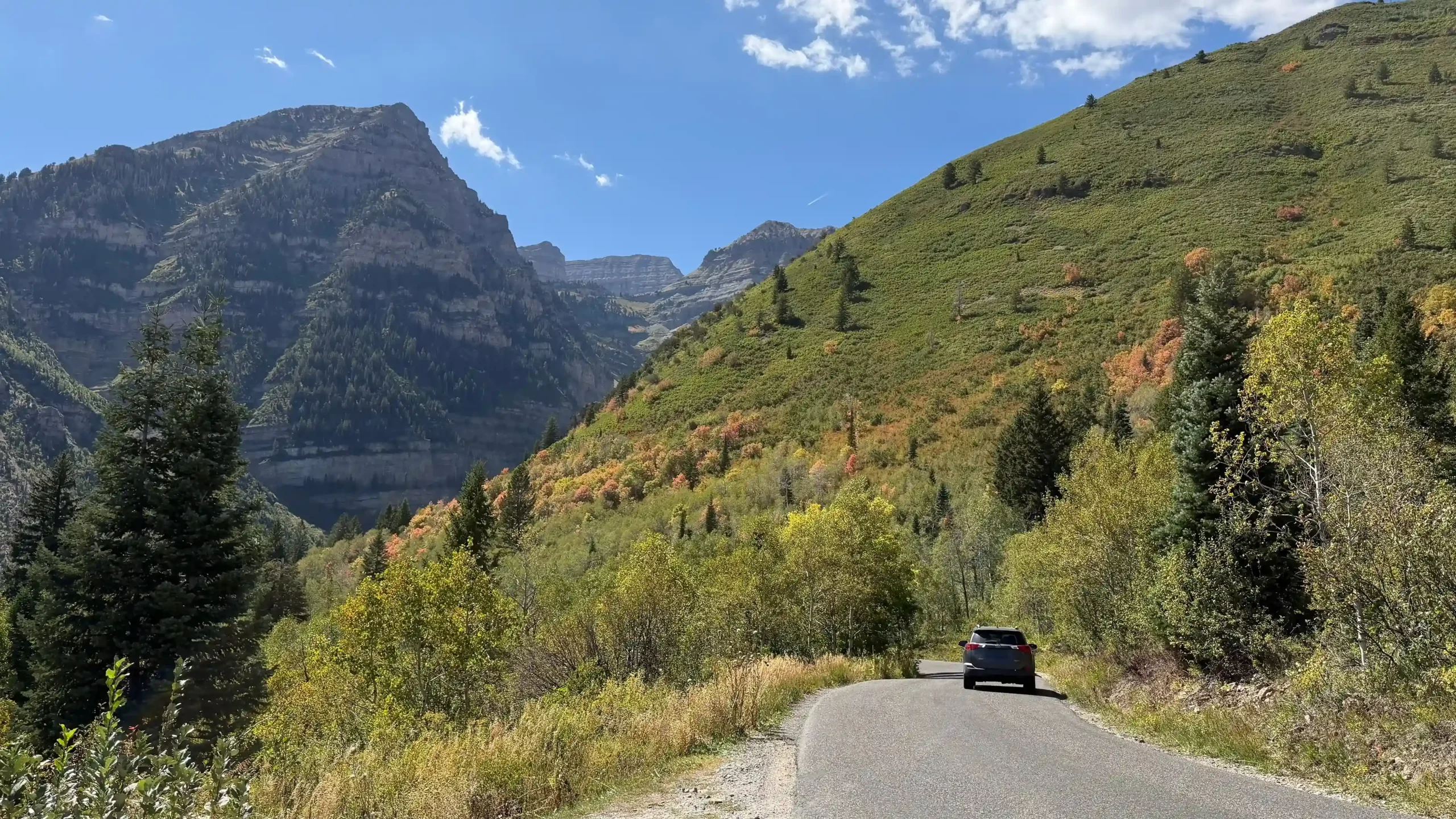
The Alpine Loop (SR-92) is a popular scenic drive through American Fork Canyon and the Timpanogos area for seeing fall colors. But leaf peepers beware: traffic on the narrow road can back up and designated parking areas can fill quickly, especially on weekends. Roadside parking is illegal except in designated pullouts, and since they fill up quickly, be prepared that you may not be able to stop and get out of your car.
Use this guide if you’re planning to do the classic fall drive.
When is the best time to see fall colors on the Alpine Loop?
The Alpine Loop’s leaf peeping season is mid-September to early October, with colors typically peaking in late September. The fall colors attract extra traffic, especially on the weekends.
Weekend leaf traffic is typically heaviest around midday, with additional increases in the early morning and evening. The best time to avoid traffic is going on a weekday.
If you’re planning a later fall drive, keep in mind that changing weather can affect road conditions. SR-92 is seasonally closed between Pine Hollow and Aspen Grove, typically beginning in November, although timing depends on snow and road maintenance resources. Check UDOT Traffic before traveling.
Where can I stop on the Alpine Loop?
There are many points along the way to stop and stretch your legs, see the leaves up close, and take photos — but you can’t stop just anywhere. Parking is only allowed in designated parking areas.
Designated parking areas include pullouts and other spaces where your entire vehicle is completely off the paved roadway. To park legally, no part of your vehicle or wheels can be on the travel lanes. Parking areas along the Alpine Loop are limited, so please plan ahead and only park in designated areas.
Developed recreation sites
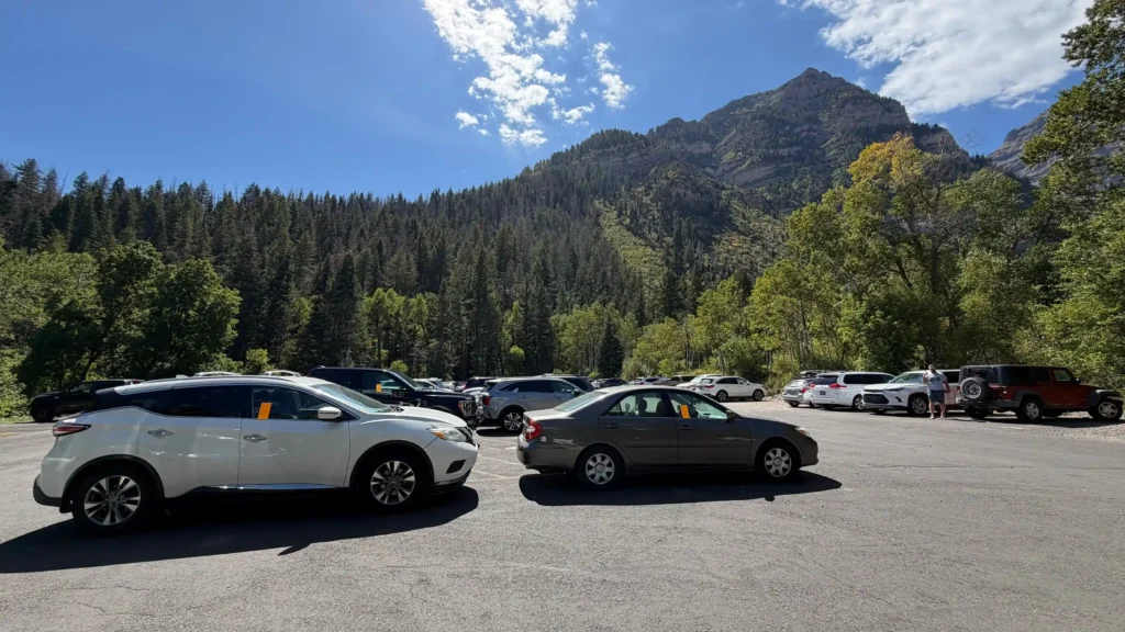
The Alpine Loop is home to popular destinations including Sundance Mountain Resort, Timpanogos Cave National Monument (reservations required for tours), and Tibble Fork Reservoir. There are also several trailheads, picnic areas, and campgrounds spread throughout the area. Learn more about the recreation options in the Timpanogos area.
On busy days such as weekends during leaf season, parking lots tend to fill early. The Timpanogos Trail parking lot can fill especially early in the morning because the hike is lengthy, and many visitors arrive early to get a head start. Have a backup plan in mind if your intended destination is full — don’t park illegally on the road.
Roadside parking

The Alpine Loop is narrow with no space to safely park on the road. You may park in designated turnouts — these are numbered, small dirt or gravel areas adjacent to the road with space for a few cars. If you park in a turnout, make sure your entire vehicle is off the pavement and not on surrounding vegetation.
There are also a few smaller turnouts marked “Emergency Parking Only”. Do not park in these areas; these spaces must remain available for vehicles that may need them like law enforcement and medical responders.
What are the penalties for illegal parking on the Alpine Loop?

Vehicles parked along the road, outside designated spaces or in emergency areas may be ticketed or towed. Illegal parking can restrict emergency access, block traffic and lead to temporary road closures during severe congestion.
How much does it cost to drive the Alpine Loop?
There is no fee for nonstop travel on the Alpine Loop. If you stop at a U.S. Forest Service recreation site or Timpanogos Cave National Monument a recreation pass or ticket may be required. Check signs at your destination and review current Forest Service or National Monument fee information before your trip.
Looking for another fall drive?
Explore Visit Utah’s fall color information for destination ideas throughout the state.
And for other popular recreation areas, check UDOT’s Roads to Recreation sites:
- Cottonwood Canyons: Plan travel to Big and Little Cottonwood canyons, including parking, transit and seasonal road information.
- Wasatch Back: Find traveler information for Park City and the surrounding areas including Parleys Canyon.
- Ogden Valley: Plan your route through Ogden Canyon, Trappers Loop, Monte Cristo and surrounding recreation areas.
- Zion Area: Find route, parking, transit and park-access information for SR-9 and communities surrounding Zion National Park.
No matter where you’re headed, check the UDOT Traffic website or app for current traffic, construction, crashes, weather conditions and seasonal road closures before you travel.
Share: