Explore the Mount Timpanogos Area

Do I need to pay to visit American Fork Canyon and the Alpine Loop?
American Fork Canyon and the Alpine Loop are part of the U.S. Forest Service Pleasant Grove Ranger District. You must pay a fee or have a pass if you’re stopping at any trailhead or recreation site except for Timpanogos Cave National Monument and Sundance Mountain Resort.
If you’re only driving the Alpine Loop and not parking, you don’t need to pay. Be sure to have your pass on display while parked at any recreation sites.
Passes and information are available Tuesdays and Fridays through Sundays at the American Fork and Aspen Grove Information Stations. Self-service pay stations are also available throughout the canyon, but online passes are preferred.
Types of passes
- 3-Day Uinta-Wasatch-Cache National Forest Pass: $10, valid for three consecutive days at Forest Service managed sites in the Uinta-Wasatch-Cache National Forest (includes American Fork Canyon, Big and Little Cottonwood Canyons, Mirror Lake Highway; does not include Millcreek Canyon)
-
- 7-Day Uinta-Wasatch-Cache National Forest Pass: $20
- Annual Uinta-Wasatch-Cache National Forest Pass: $60, valid through the end of the month of purchase of the following year
- America the Beautiful National Parks and Federal Recreational Lands Pass: $80 for a standard annual pass for U.S. citizens and residents, covers many day-use sites on Forest Service lands (including the Alpine Loop) as well as national parks and other federal lands
-
- $250 for an annual pass for international visitors
- $20 for an annual pass for ages 62 and older, $80 for a lifetime pass for ages 62 and older
- Free lifetime pass for military (including active duty, veterans, dependents, and Gold Star family members), those with a medically determined permanent disability, and federal lands volunteers who have completed 250 hours of service
- Free pass for U.S. 4th-grade students
👉 Want to visit for free? The Forest Service has 15 fee-free days throughout the year.
Mount Timpanogos Summit Trail
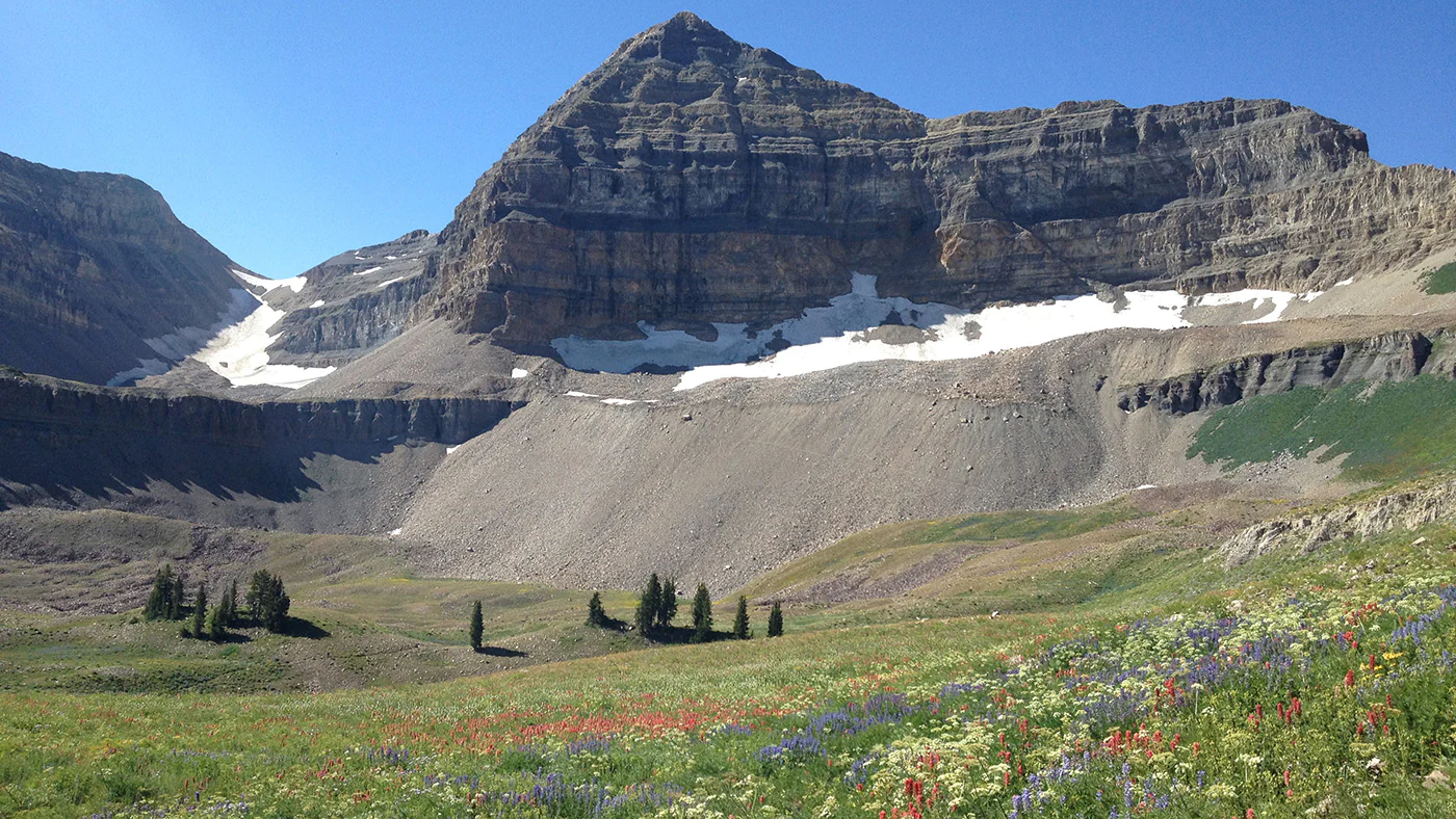
The Mount Timpanogos area is home to several notable hiking trails, with the crown jewel being the summit trail of the titular Mount Timpanogos. The peak is the second highest in Utah’s Wasatch Range, rising to an elevation of 11,752 feet.
There are two main trails that lead to the summit: The Aspen Grove Trail and the Timpooneke Trail. Aspen Grove Trail also accesses Emerald Lake, a popular destination and backcountry camping spot.
Before you go
Get tickets for the Timpooneke trailhead via permit system on Saturdays, Sundays, and holidays (July 4, July 24, and Labor Day) from 12 a.m. to 12 p.m.
>>Learn more about Timpooneke Trailhead Timed Tickets.
The following options are available for visitors:
- 78 parking stalls – reservable online 30 days in advance
- 18 parking stalls – reservable online 48 hours in advance
- Parking permits are in effect for 24 hours and reservations can be made 24/7 at recreation.gov
How to get there
Route 1: Aspen Grove Trailhead
- Take Exit 272 off I-15 and travel east on SR-52 (800 North in Orem).
- Merge onto US-189 (Provo Canyon Road) and continue east for 7 miles.
- Right after the tunnel, turn left onto SR-92 toward Sundance Mountain Resort.
- Drive 6 miles past Sundance and Aspen Grove to the fee booth.
- Park in the main lot just past the booth on the left (overflow parking is available further up the road).
- Access the Aspen Grove Trail directly from the lot.
Route 2: Timpooneke Trailhead
- Make sure to reserve a permit in advance for access to the Timpooneke Trailhead on weekends and holidays.
- Take Exit 284 off I-15 and head east on SR-92.
- Follow the highway for 8 miles into American Fork Canyon and pay at the entrance booth if you don’t already have a pass.
- Drive another 8.2 miles past Timpanogos Cave National Monument.
- Look for Timpooneke Campground on your right; the trailhead is located just beyond the grounds.
Timpanogos Cave Trail
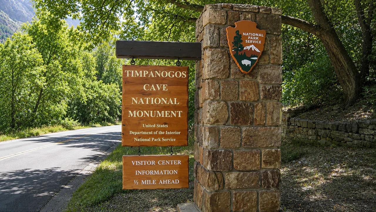
How to get there
Arriving via I-15:
- Take Exit 284 (Alpine/Highland) and head east on SR-92.
- Drive straight for 10 miles directly to the monument entrance.
Arriving via US-189 / US-40:
- Follow US-189 through Provo Canyon, then head west on 800 North in Orem (SR-52).
- After 2.4 miles, take a right onto State Street (US-89).
- Travel 3.8 miles and turn right onto 100 East in Pleasant Grove (SR-146).
- Continue for about 5 miles as the street transitions into Canyon Road, leading to American Fork Canyon (SR-92).
- Make a right into the canyon to reach the visitor center. If you’re only visiting Timpanogos Cave National Monument, you do not need to stop at the American Fork Canyon entrance booth and pay the fee.
Parking
Provo River Parkway Trail
Stretching 15 miles from Utah Lake to Provo Canyon, the Provo River Parkway is a popular multi-use path in Utah Valley. This paved route connects local parks, residential areas, and nature access points along the river.
Traveling with your family or someone with limited mobility?
- Stick to the southern and downtown areas for flat terrain, wide lanes, and frequent playground stops.
- The canyon path is family-friendly, but watch out for oncoming bicycle traffic and stick to the right side of the trail.
What to do
Running/Walking:
- Terrain is flat through the city/south side, with a gradual incline heading into the canyon.
- A scenic 4–6 mile out-and-back starts at Canyon Road Park and lasts a few miles into Provo Canyon.
Cycling:
- The smooth asphalt and gentle elevation gains make this a great cycling spot.
- Park at the canyon entrance and ride 7 miles up to Vivian Park, enjoying an easy, coast-heavy ride back down.
- Seasonal bike rentals are available near key trailheads and at shops in Provo.
Family Tips:
- Stick to the southern and downtown areas for flat terrain, wide lanes, and frequent playground stops.
- The canyon path is family-friendly, but watch out for oncoming bicycle traffic and stick to the right side of the trail.
How to get there
- Utah Lake State Park: There is free parking at the park, though day use fees apply to the park itself. Trail access is free when parking adjacent to the trail.
- Canyon Road Park: You’ll find central access at this park with free parking and restrooms.
- Interchange Park (800 N): This location offers easy access from north Provo with parking.
- Canyon mouth / Nunn's Park: This is the gateway to the canyon section. Parking is available at Nunn's Park, where you’ll find the most popular starting point for canyon rides and walks.
- Bridal Veil Falls: Offers mid-canyon access. Note: the lower parking lot is closed through 2027 for renovation. Use the upper lot or Nunn's Park.
- Vivian Park: The northern terminus of the trail with a turnaround point for longer bike rides.
Bridal Veil Falls Trail

Bridal Veil Falls is a 607-foot cascade in Provo Canyon. You can see it from a paved half-mile stretch of the Provo River Parkway that is accessible for strollers, wheelchairs, and casual walkers.
There is also a short, steeper climb toward the foot of the lower falls. This unpaved stretch features rocky, uneven ground that can get slick when damp, making standard street shoes or strollers unfit for the climb.